Tags
hiking, Photography, snow, Travel, Walking, West Yorkshire, winter
Yesterday, Valentine’s day – and for one day only, the weather decided to give us a break from continuous and monotonous rain. Mind you. it had dumped several inches of snow on the high ground, just to make things more interesting! That said, where we live in the Calder valley was just too low to be in the snow line. We could see the stuff on the high ground on the opposite side of the valley, but we had barely a sniff. That worked to our advantage…
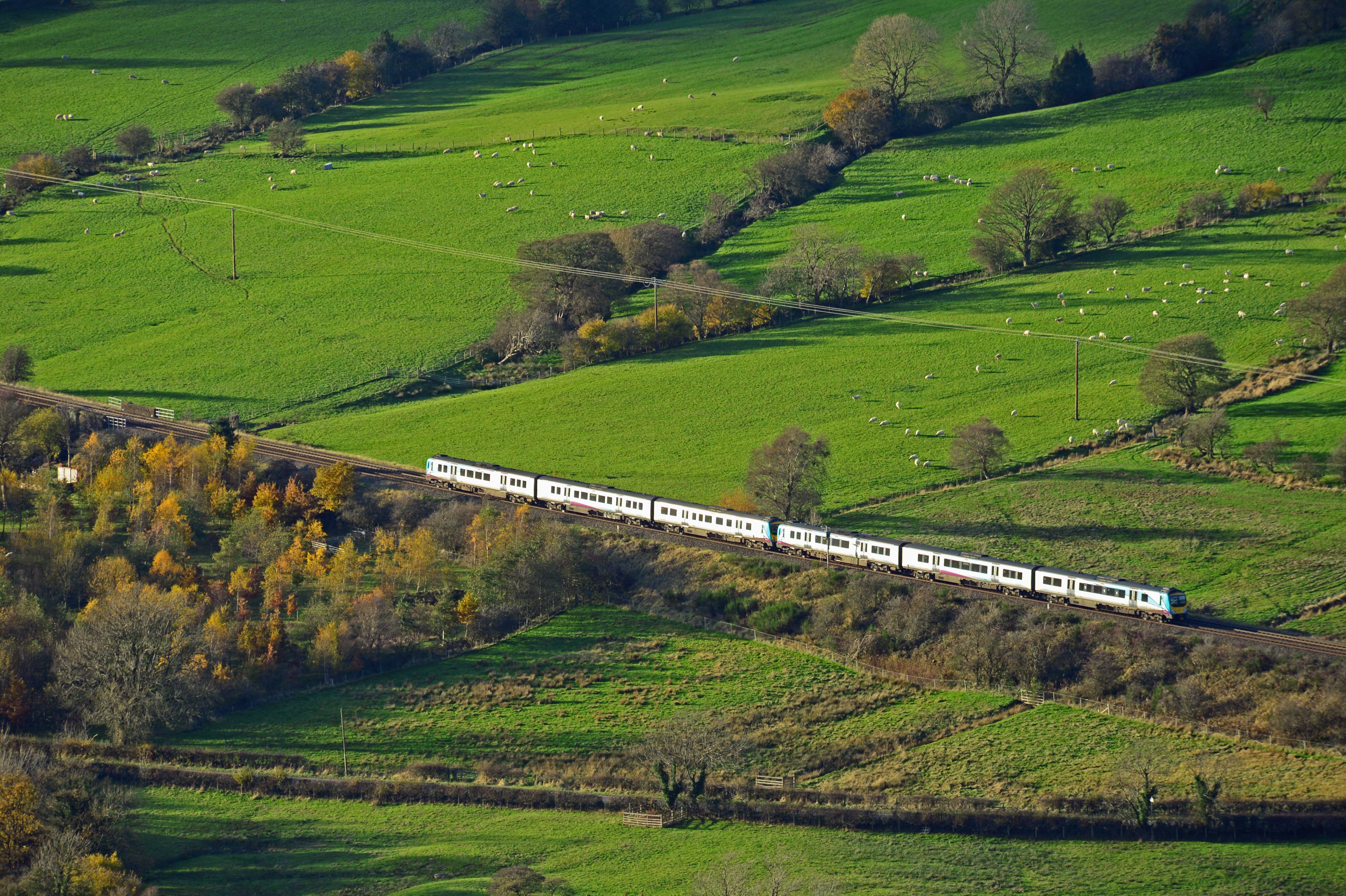
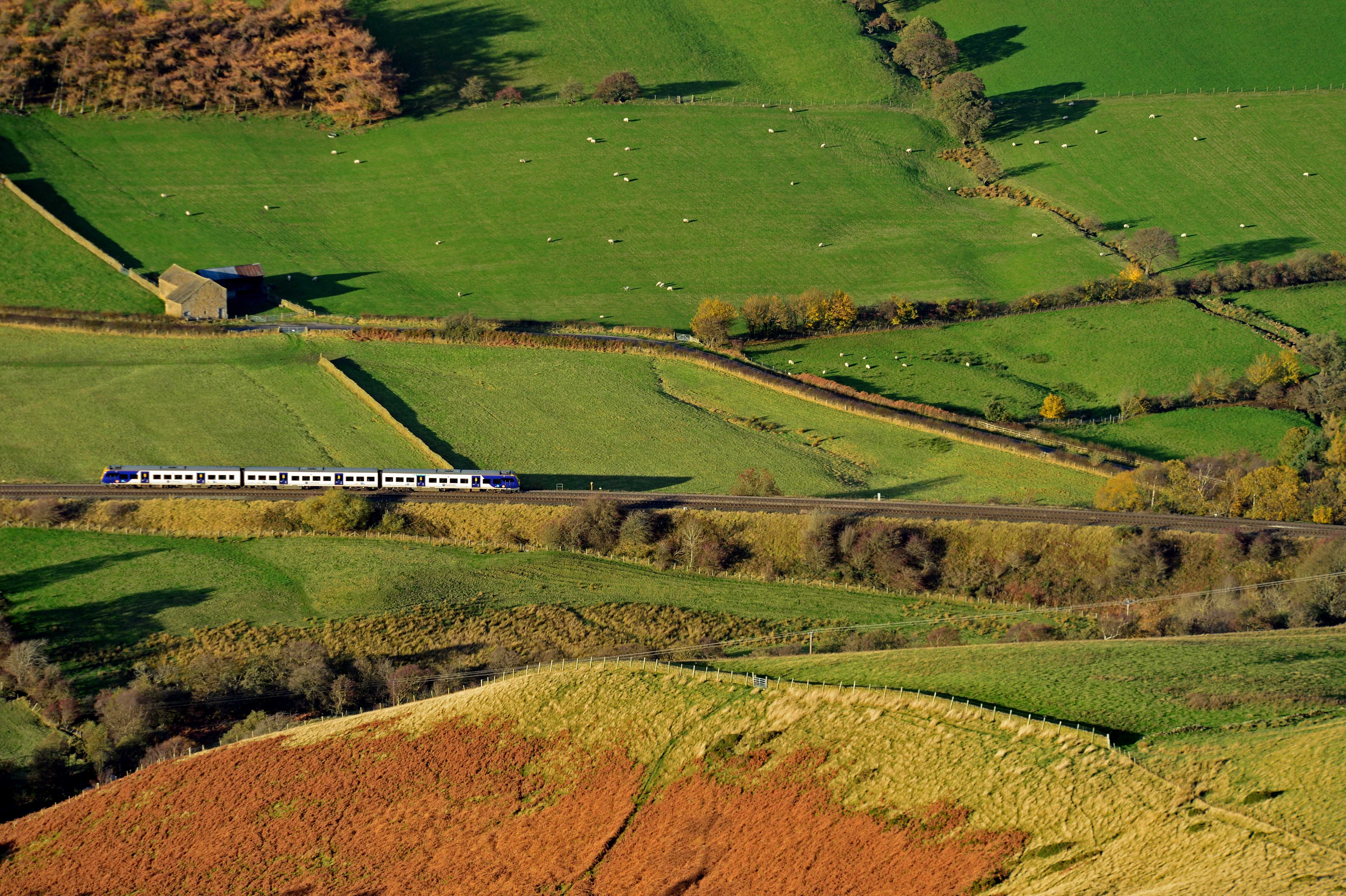
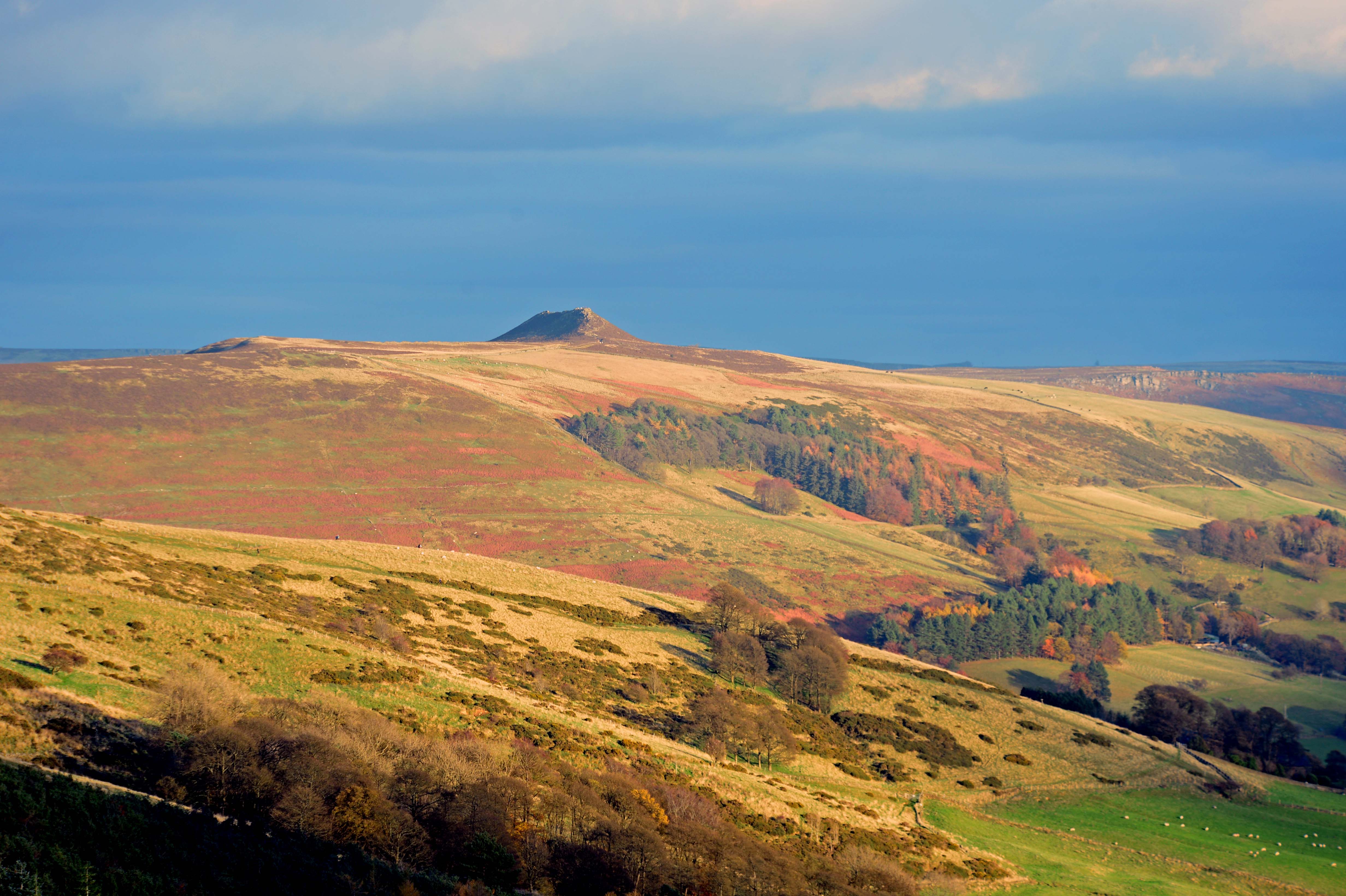
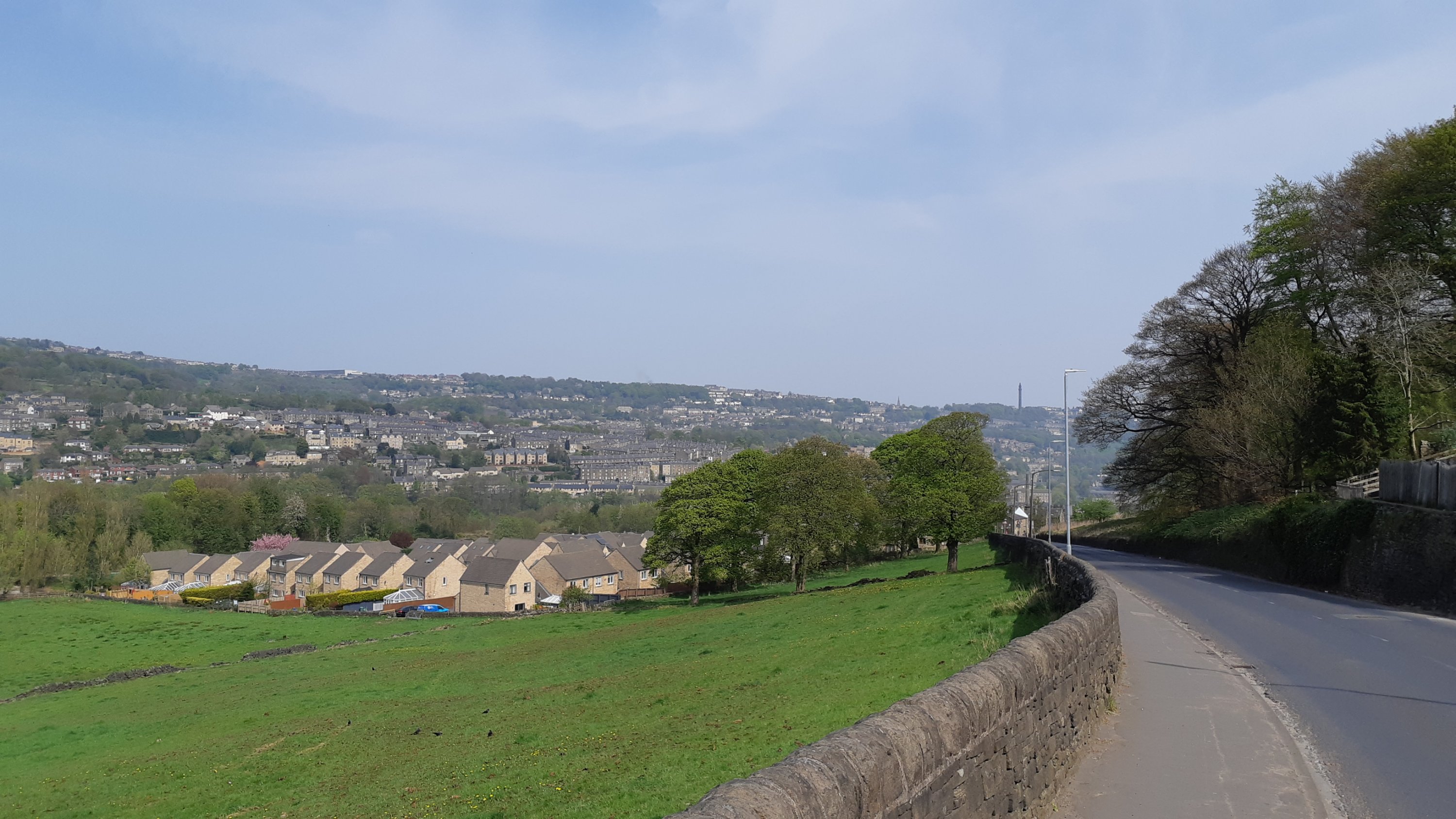
Saturday began with clear blue skies and the sort of weather that – after weeks of rain- made you itch to get out. But where to go? Having perused maps and looked at where the snow lay we decided to drive out South, through Ripponden and across the M62 motorway in search of higher ground. We found what we were looking for at Moss Moor, off the A672 to Oldham where you’re over 450m above seal-level and there’s nothing stopping the wind anywhere. Even on a hazy day you can see the city of Manchester miles below. On a good day you can pick out the Lancashire coast.
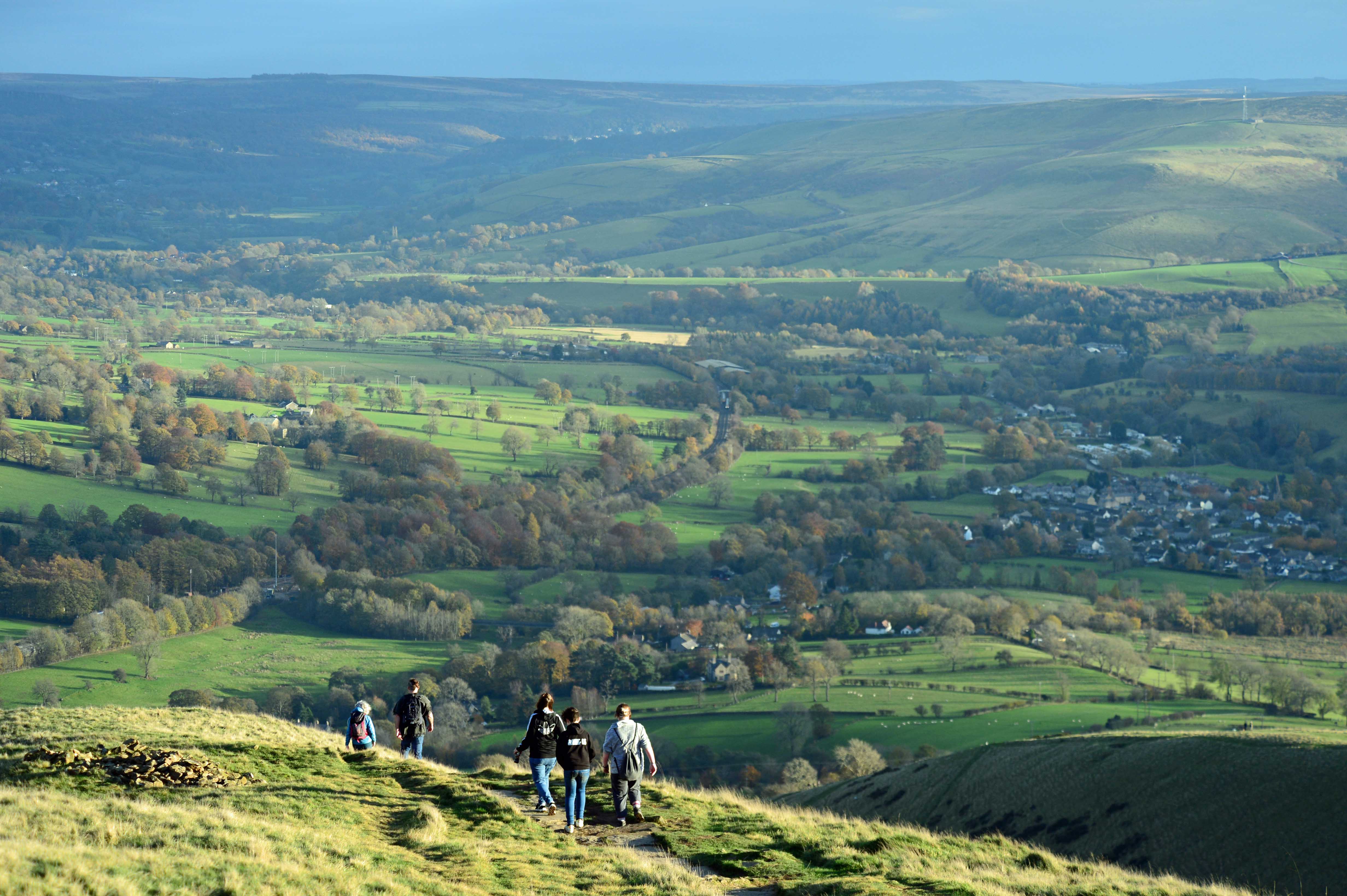
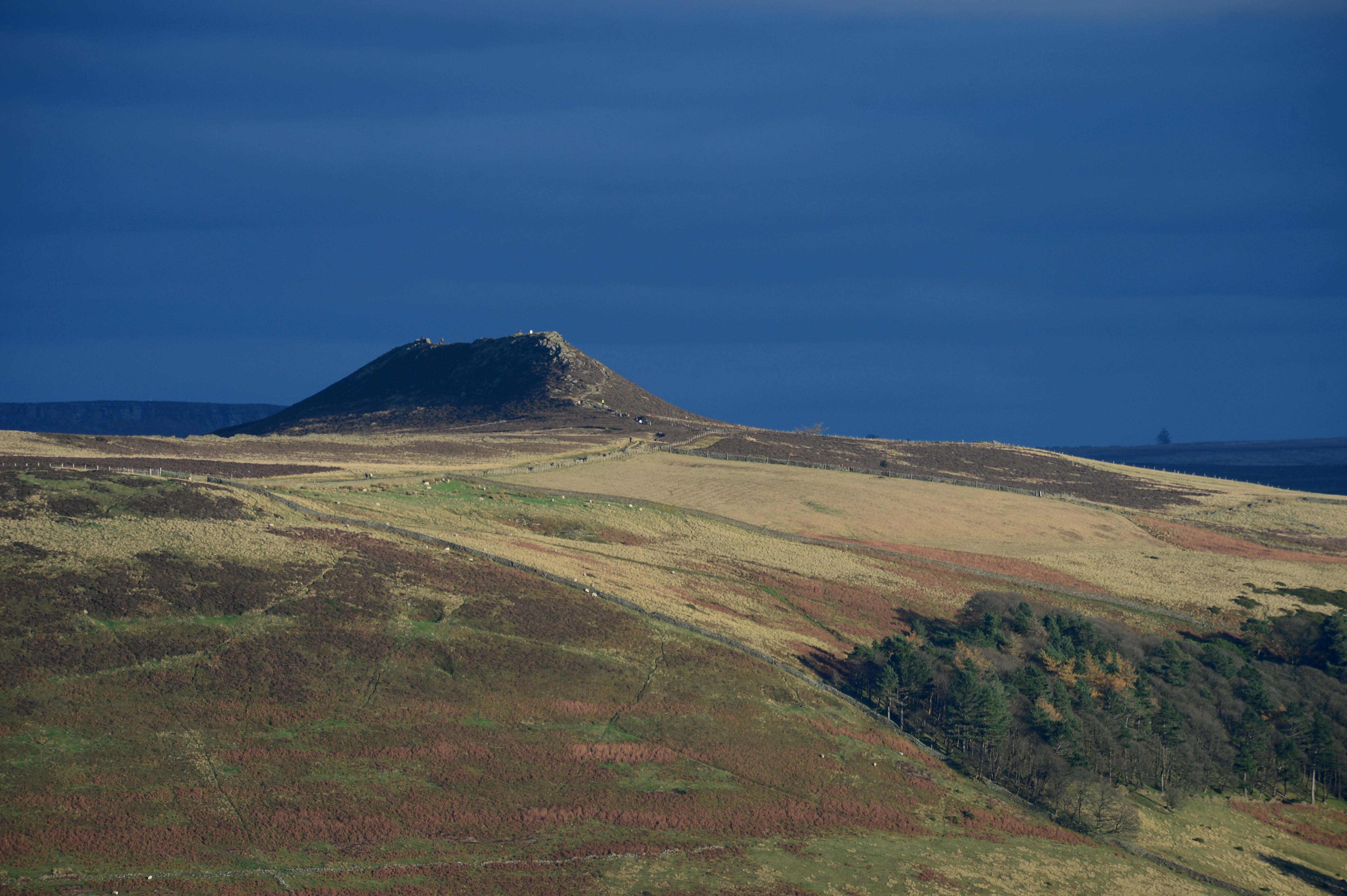
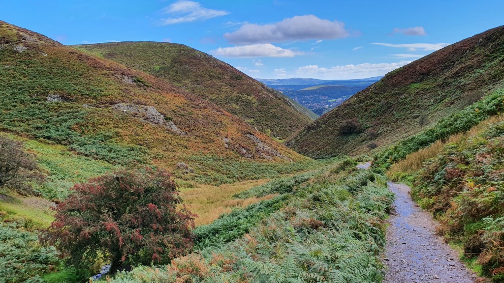
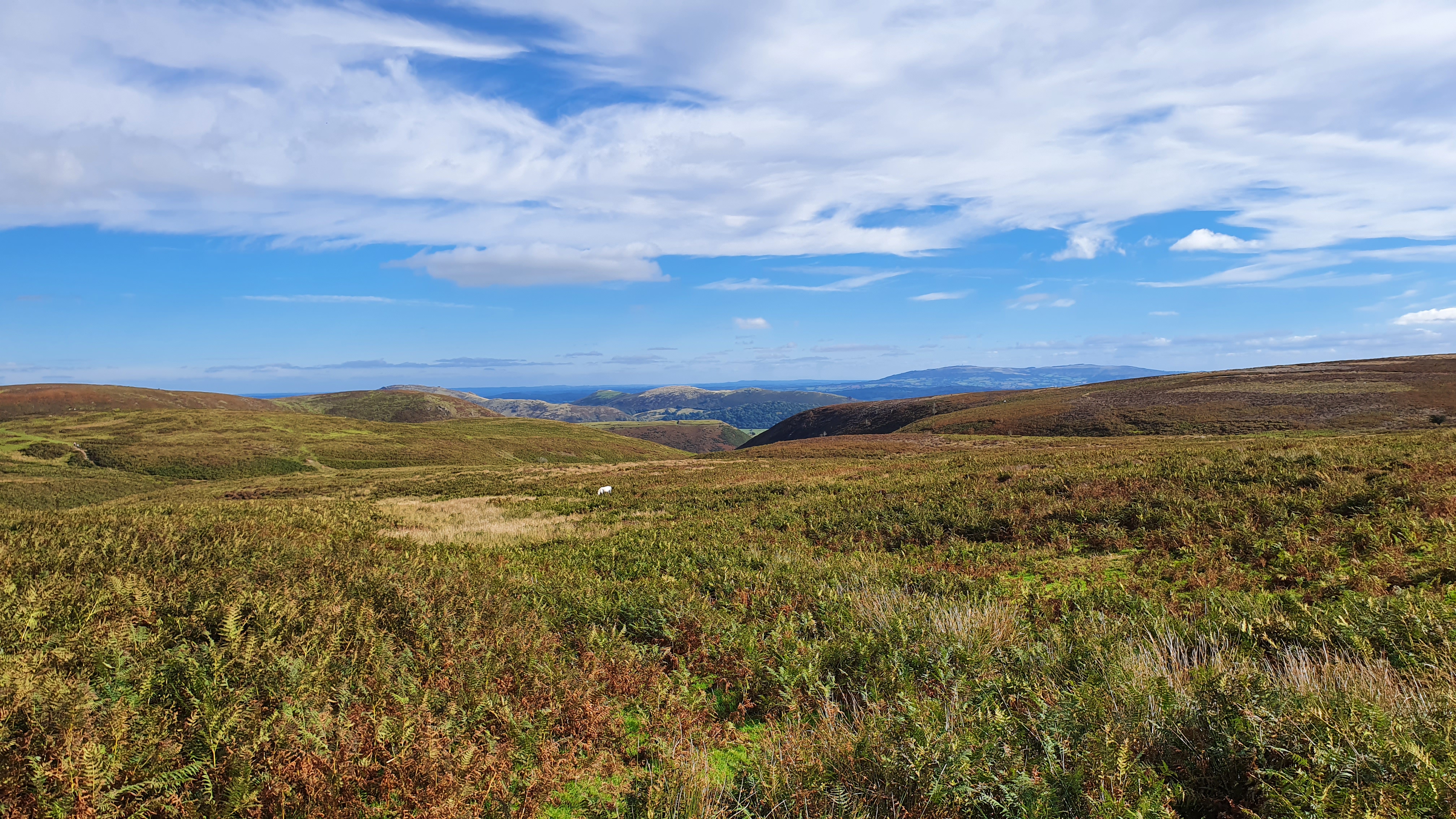
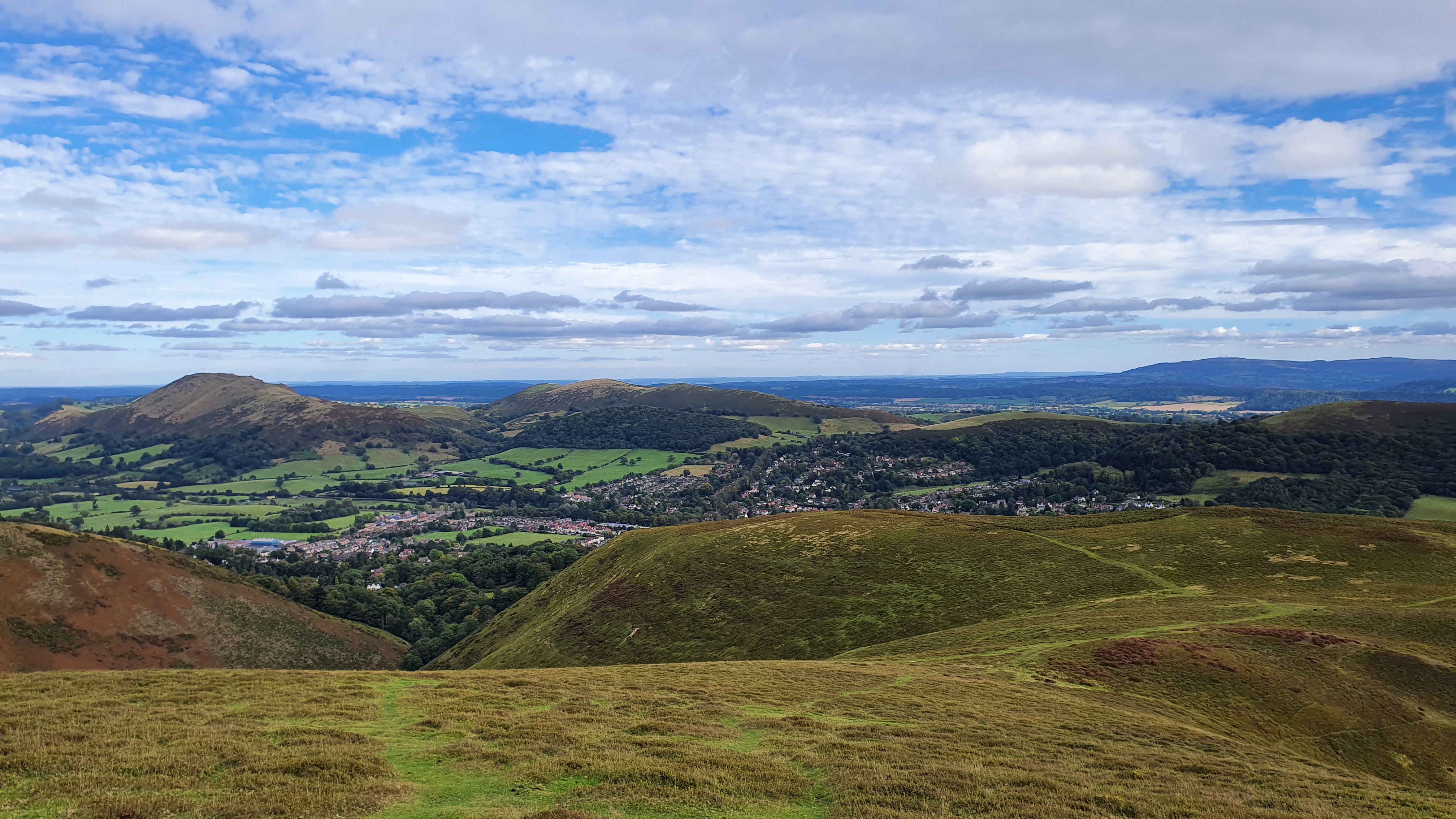
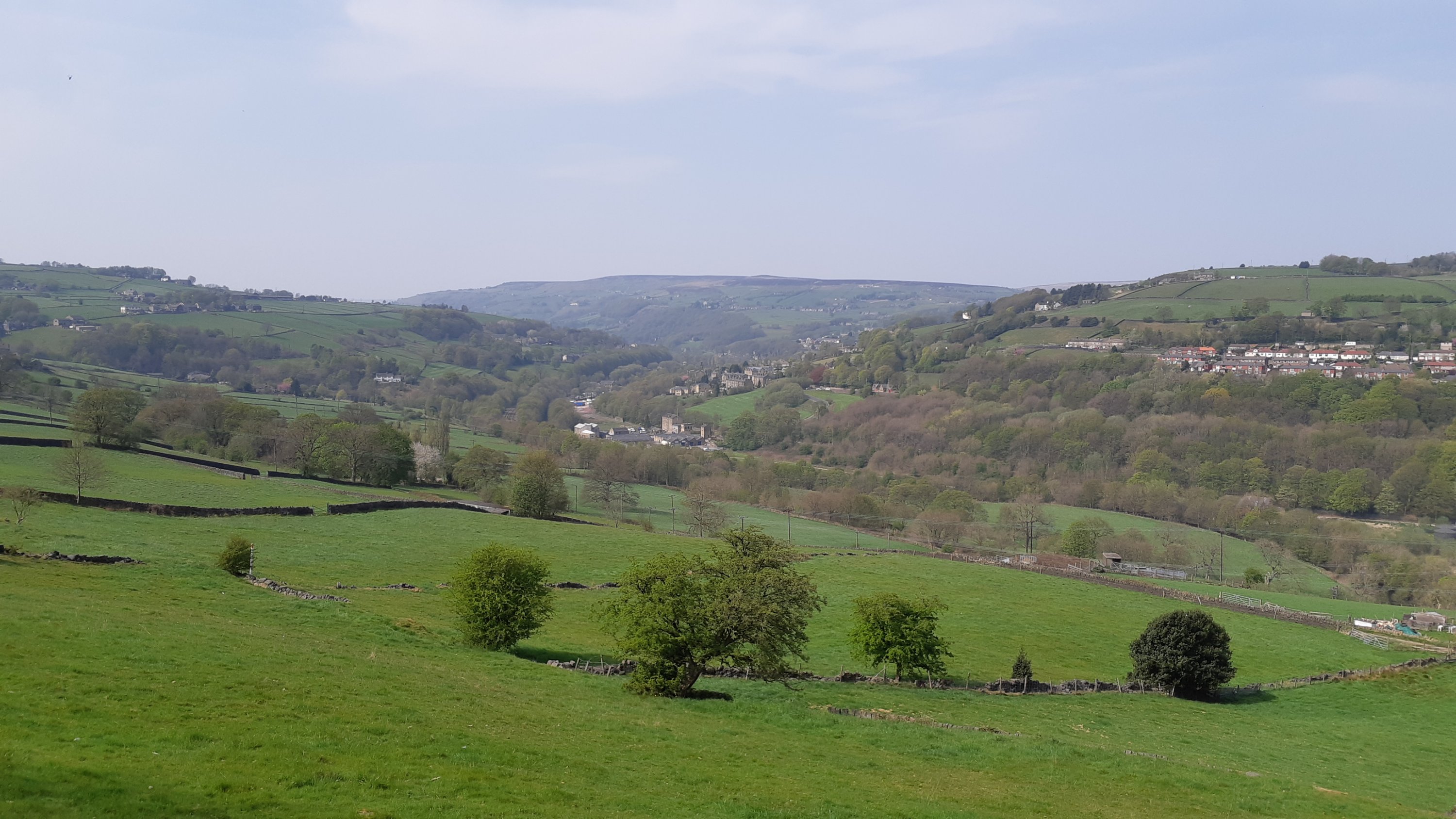
Leaving the car we headed off South along the Pennine way. Here’s how the world looked…
Having had our fill of the high moors we decided to head back via Baitings reservoir, which was a regular entry in last year’s ‘reservoir blogs’. Here’s how it looked in August last year.
Sadly, the weather’s reverted to type. Today we’ve had grey skies and intermittent rain, a pattern that we seem to be stuck with. Never mind. Bugger the weather, tomorrow I’m having another day out to head over to Manchester and Southport in order to look at two very different events…
I’ve a small favour to ask…
If you enjoy reading this or any of the other blogs I’ve written, please click on an advert or two. You don’t have to buy anything you don’t want to of course – although if you did find something that tickled your fancy that would be fab! – but the revenue from them helps me to cover some of the cost of maintaining this site (which isn’t cheap and comes out of my own pocket). Remember, 99% of the pictures used in my blogs can be purchased as prints from my other website – https://paulbigland.zenfolio.com/
Cheers,
Paul